Sunday, September 30, 2018

The road to Yosemite

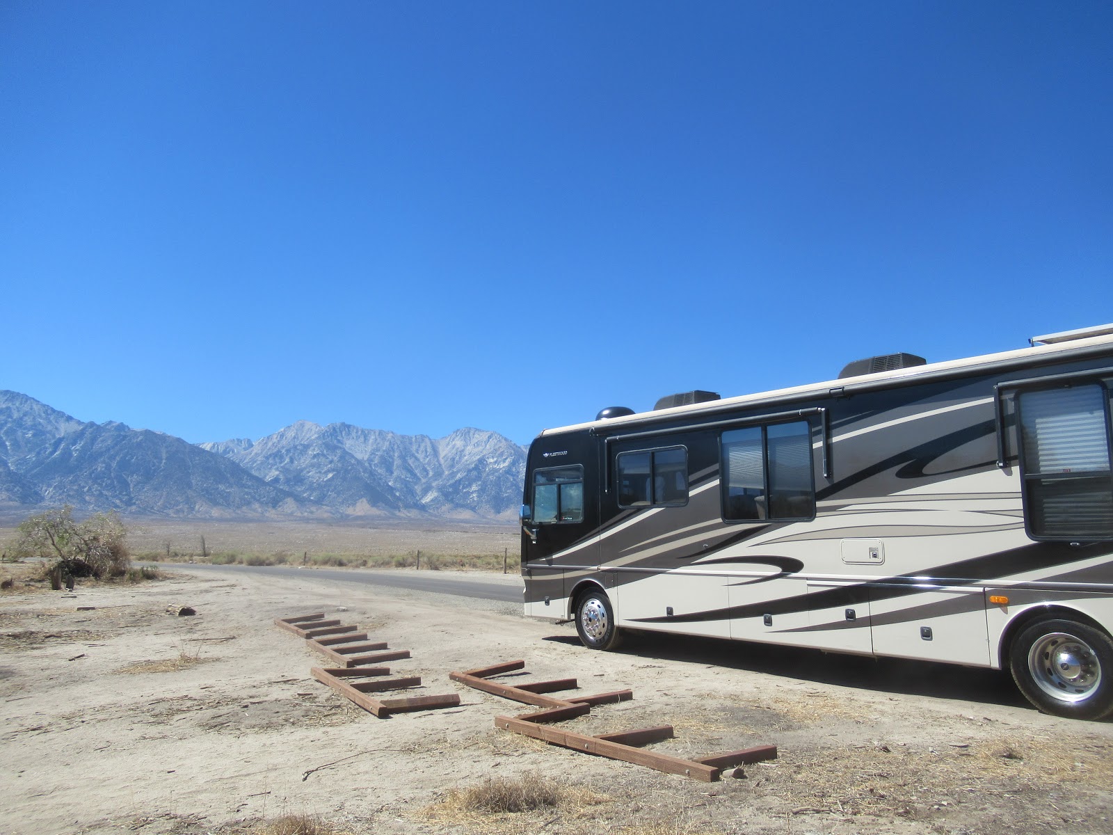
On the way to Yosemite we stopped in Lone Pine on the advice of our son, Nick. He recommended the Lone Pine Film Museum, which documents and displays memorabilia from the hundreds of films that were made in the nearby Alabama Hills. Hollywood long believed this area to be an iconic image of the wild west, and given its physical proximity, it was easy to film here.

In addition to early westerns staring John Wayne, Errol Flynn, Randolph Scott, Gene Autry, Gary Cooper and a host of others, we found here the actual dentist wagon prop from Django Unchained starring Jamie Foxx. We also found the wall that the director Quentin Tarantino and the cast signed when they visited the exhibit.
Near Lone Pine is the Manzanar National Historic Site. In 1942, nearly 110,000 men, women and children were forced to leave their homes and be detained in this military style camp. The vast majority of the detainees were US citizens.
This visitor center actually occupies what was the gymnasium built in the early 1940’s to serve the detainees in the camp, and is the only building that remains from that time. Some barracks have been recreated to show what life was like in Manzanar for these citizens whose rights were ignored.
While no buildings other than the visitor center exist, the eerie remains of what the detainees built to add a bit of “home” to their prison brings a lump to your throat. The residents built koi ponds and Japanese gardens to take away some of the sting of their situation. While the koi are long dead, as are the plants that graced these areas, you can still clearly see the detail that was put into these spaces.

Another National Historic Site falls off the list.
Talk to you soon!

Thursday, September 27, 2018

Back to Mammoth

Having successfully mended Colectiva, we headed back to Mammoth. This time, however, we did it via Bakersfield and the 395 – more miles, but less white knuckles. We headed up to where the Pacific Crest Trail runs nearby Mammoth, and the Woman was in ecstasy! Through much of this area of California the John Muir Trail merges with the PCT, and so we managed to knock off about 5 miles of both the PCT and the JMT!

We got to check another lifer off the list. Just past Mammoth Mountain Ski Resort is Devil’s Postpile National Monument. We had actually seen this phenomenon when we were driving the Rink of Kerry in Ireland two years ago.  At the Giant’s Causeway we learned how volcanic basalt cooling in calderas tends to form an octagonal column. The result is stunning.
While the formations we saw in Ireland were far more expansive, they looked almost identical in shape and form to what we found at Devil’s Postpile. We couldn’t help but feel like we were back in Ireland, at least for a moment.
Now, on to Yosemite – yippeeeeee!
Talk to you soon!

Monday, September 24, 2018

Diversion

While camped in a site without power, we were enjoying the luxury of having a totally powered coach running our generator when everything suddenly went dark. The generator was still running, but we had no power. We got a local recommendation to call Monty out of Bishop California who makes a living doing mobile RV maintenance. Unfortunately, after an hour of searching, Monty had no idea what the issue was. So, we decided to break camp and head back to Vegas to our friends at Findlay RV for some heavy-duty assistance.

I apparently should have looked closer at Google Maps. From Mammoth I could have gone straight south to the I-15 and then into Vegas, but that added 75 miles to a route straight across Death Valley. Had I looked closer, that extra 75 miles only added about 10 minutes to the estimated drive time, but we headed due east, driving on at least 2 highways not recommended for vehicle combinations over 30 feet in length, and some of the most white-knuckle roads I have ever been on, even though they were dramatically beautiful.
We made it to Vegas, and Findlay found the problem in no time – a neutral wire from the generator into the transfer switch under the bed had pulled loose due to stress from that slide out moving in and out. They reconnected it and rerouted it a bit so as to not occur again, and back to California we headed. This time, however, we took I-15, added miles, but not much time, and reduced all the stress!
Talk to you soon!

Saturday, September 15, 2018

Bridgeport California

Bridgeport appears to be a significant playground for the Silicon Valley crowd, and maybe just Californians from all over the nearby area. It is surrounded by gorgeous, very rocky mountains, some of which still have a considerable amount of snow even in mid-September.

And the alpine lakes here are gorgeous as well. Nestled high in among the peaks they made a perfect base for some fresh air hiking. We visited the Virginia Lakes and the Twin Lakes, looked at the hundreds of summer cabins, had some lunch at the lodge, found some caches and just took in the beauty. It’s easy to see what draws the hordes from the cities.
We managed to finally visit Bodie California. In 1859, W S Bodey, a prospector from Poughkeepsie NY, discovered gold here, and a couple of decades later a full-fledged gold rush hit the area. The town that developed was named after him, even though the spelling wasn’t quite right. In the 1880’s it was considered one of the most lawless towns in California.
The town exploded after the word got out. By 1879 the population topped 8,500 and there were well over 2,000 buildings. There were bars, brothels, gambling halls, general stores, but not one single church. The first church was not built in Bodie until 1882, and then there were two of them, one Catholic and one Methodist.
When the gold played out in the early 1900’s, the towns crash was spectacular. What made the town explode was the large number of large mining company mines and all the jobs.  As all the big mines closed and there were no jobs, people just abandoned their homes leaving most things behind. Because the crash happened so fast and was so complete, hundreds of buildings still stand in Bodie, in an eerie state of arrested decay.
Bodie Ghost Town is now a State Historic Site. You can walk all over town, enter a few of the buildings, and others just look in the windows to see what folks might have been doing the day before they fled Bodie. We’ve been to many ghost towns throughout the West, but those always had a couple of prominent buildings as well as lots of empty foundations. The number of standing structures in Bodie makes it feels like you are visiting a post-apocalyptic setting.
We had been wanting to visit for years, but in our last two serious attempts we were either in late fall or in early June. Because of its elevation and mountain location, snow prevents visiting until late June, so last year when we came by here we were shut out. We can finally now cross it off the bucket list.


An interesting technology event happened here in Bodie in the early days after Edison’s inventions. In the 1890’s Thomas Leggett agreed to build a hydroelectric power plant on Green Creek, about 13 miles from Bodie. In 1892 the plant and electric lines were built running to the stamp mill in Bodie. In October of 1893, the switch was thrown, and Bodie may have become the first electric powered stamp mill in the World using power that was transmitted from a long distance.
We got a bonus here as well. Near Bridgeport on two different BLM managed sites are some natural hot springs. Buckeye Mineral Hot Springs are on the west side of Bridgeport, sort of on the way to the Twin Lakes area. Travertine Mineral Hot Springs are just outside town on the south side.
We decided to hit the Travertine Hot Springs if, for nothing else, just to be able to say we did it. It turned out to be a good call. While not nearly as massive and awesome, the area reminded us of the hot springs and paint pots in Yellowstone. I submerged myself in two different pools, of course already occupied by the knowledgeable locals. The first was maybe around 100 degrees. But the second was easily maybe 105 degrees – what a treat!
Talk to you soon!

Wednesday, September 12, 2018

Navigating the fires

We knew about all the fires – everything out West is burning, mostly nearer the coast in California. Since we entered British Columbia on our way south, there was a constant haze of smoke in the air. Some days it was denser, and other days just a light haze, but always there. Since we were sticking to the far eastern edge of California we assumed we would be all right – wrong again!

We knew I -5 was closed in central California so we planned to avoid it like the plague. We were still sticking with US Hwy 97 planning to veer more easterly outside of Klamath Falls Oregon. That is when the first surprise occurred – Oregon Highway Patrol had blockaded Oregon Hwy 39 heading southeast out of Klamath Falls due to uncontained fires there. After being forced into a tiny neighborhood area where 50-foot rigs should not be driving, we managed to find our way back to 97. A quick scan of the atlas showed a California Scenic Highway 161 running east along the California/Oregon border that would take us back to California Hwy 139 – the same as Oregon 39. We just took it, hoping it 50-foot rig friendly, and that 139 would be back open by then. We did OK on both accounts.
As we checked in for the night in Standish CA, Arnie, the RV Park owner, asked us where we were off to tomorrow. We told him Willow Springs, which was pretty much a straight shot on US 395 south. He told us that he had just heard on his radio that US 395 was closed between Truckee and Bridgeport – directly in our route – and when we checked with CA DOT, that was true. Another uncontrolled wildfire was there.
So, we are in the throes of trying to get around that wildfire by taking small Nevada state highways just east of the California border, trying to make our way back west below the fire. The only good news in this whole ordeal was that I was trying to get the Equinox registration renewed, and was navigating all kinds of barriers having to do with not being able to get a smog check in Nevada. So, with any luck, I will be able to find an open smog check station along our route.
Talk to you soon!

Sunday, September 9, 2018

Sisters Oregon

We were here a year ago last June, but couldn’t drive any of the scenic routes as they were stilled snowed in – even at the end of June! On our way into Sisters we visited the US 97 Crooked River High Bridge completed in 1926. The bridge is still intact, but now only handles foot traffic at the Peter Skene Viewpoint. Peter Skene was the first documented white European to explore the Crooked River canyon in 1825 while leading a party for the Hudson’s Bay Company.

We didn’t even think about it, but happily headed for the overlook with Kona on leash. One of the other tourists made a comment about pets being prohibited – I said “Really, why would that be?” The other tourists pointed out the warning sign – sheesh! Really?
We headed up Oregon Scenic Highway 242 toward the lava fields at McKenzie Pass. With the famous Sisters Peaks in the background (only two of the 3 sisters are visible as the South Sister is the shortest), we took in these massive AA lava floes that are believed to be about 3,000 years old. These lava fields were every bit as good as any we had seen in designated National Parks and Monuments.
The Woman was in ecstasy! Not far from McKenzie Pass we found where the Pacific Crest Trail crossed Scenic 242. It was a gorgeous day, except for all the smoke from all the fires raging in California, so we managed to knock off another 7 or 8 miles of the PCT. It totally made the Woman’s day!
We will continue our long slog south.
Talk to you soon!

Sunday, September 2, 2018

Stuff along the way

Even though we weren’t really looking, there was some stuff along the way. For example, British Columbia has large herds of wild bison that roam certain of their provincial park grounds. On our drive into Northern BC, we saw maybe 50 bison roaming near the Alaska Highway – maybe even a bunch more. I think they like the highway corridor as it has been cleared and grazing is easier, and maybe yummier.

We also found that near Kluane National Park in the Yukon that there were a considerable number of wild horses roaming. Perhaps for the same reason as the bison in BC, we saw them along the side of the Alaska Highway in several different locations. It reminded us of the wild horses we have seen near Red Rock and Mount Charleston outside Vegas.
At one wayside rest where we stopped to try to find a geocache – denied by the way! – we took Kona on a stroll around the area to stretch both his and our legs a bit. As we headed down what appeared to be a well-worn path, we encountered this beaver dam – it was huge! While we didn’t find any beavers at home at the time, we were sure they were there and just decided not to serenade us. Buggers!
We also got some insight into a controversy we became aware of in Nome. We previously posted a pick of us in front of the World’s Largest Gold Pan. When the guide pointed it out to us, a cute little Canadian said “No, it’s in Canada.” The guide said “Well, Canada doesn’t really count now does it?” The cute little Canadian guy said “Yes, it does.” Well, since I didn’t personally measure them, I can’t chime in, but in the tiniest of towns along the Alaska Highway, Burwash Landing also boasts the World’s Largest Gold Pan.

Talk to you soon!